What types of geospatial and remote sensing data can I annotate in CVAT?
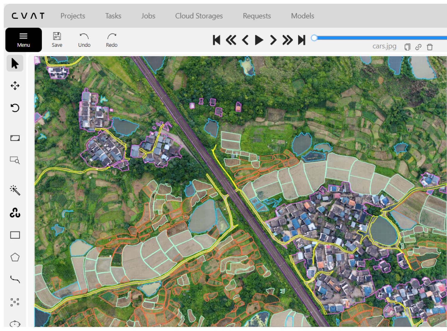
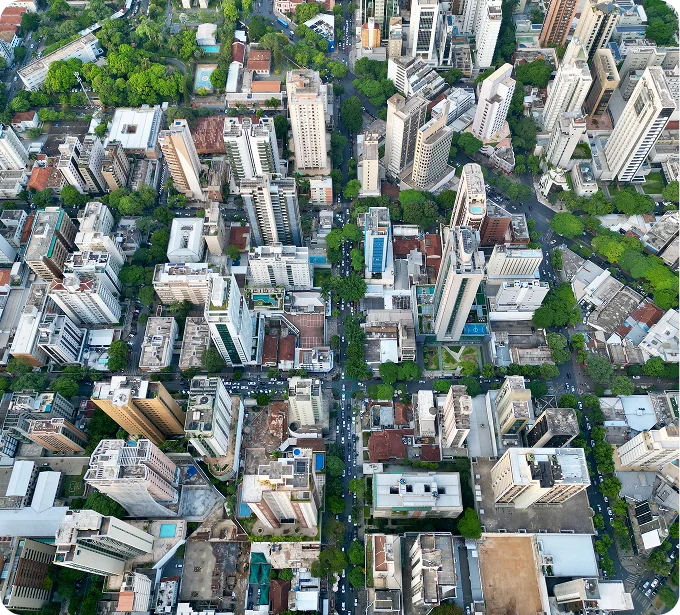
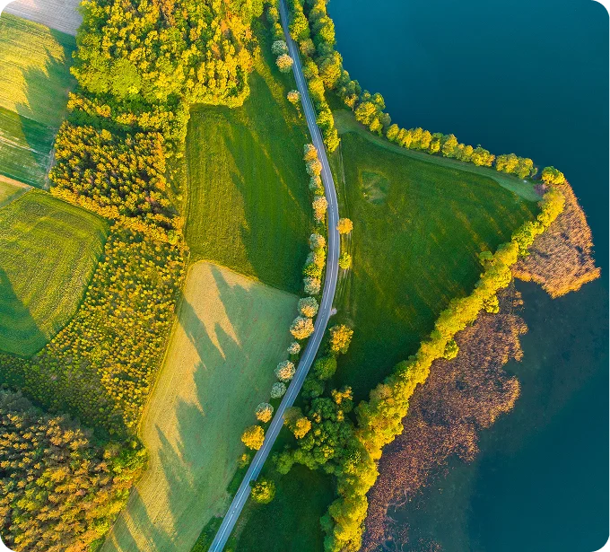
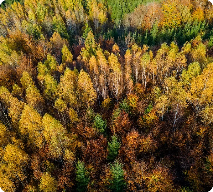
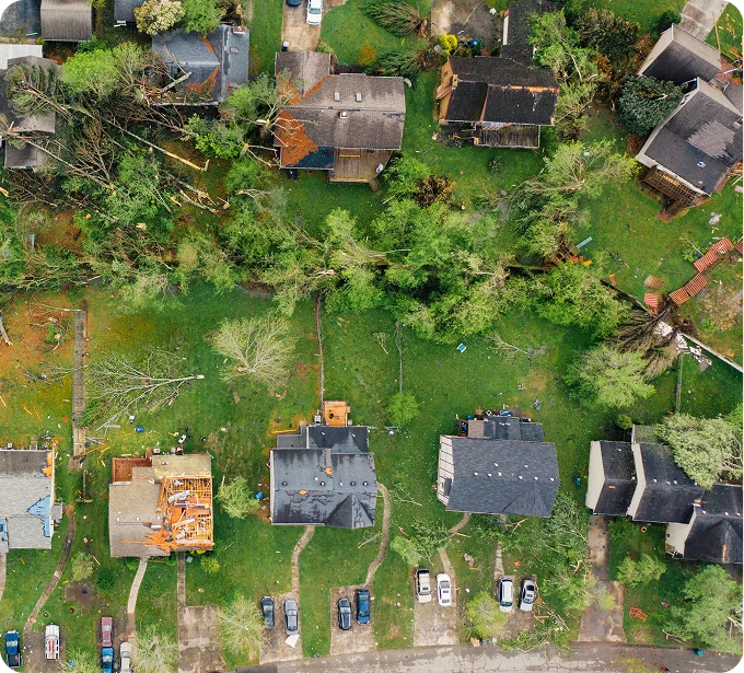
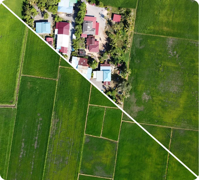
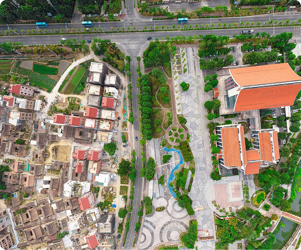
CVAT can be used with satellite, aerial, and drone imagery, video sequences, and 3D point clouds in supported formats, including TIFF images and PCD or BIN point clouds. Teams use it to build training data for land-cover mapping, building extraction, forestry inventory, infrastructure mapping, damage assessment, and change detection.
Which annotation types work best for geospatial features?
Fields, forests, water bodies, flood extents, and burn scars are region problems, so polygons and masks carry the boundary. Roads, rivers, railways, and utility lines are better represented as polylines. Trees, poles, buildings, and other discrete assets can use points, bounding boxes, or oriented boxes, with attributes for class, condition, or change type.
How should we prepare large satellite scenes or orthomosaics for CVAT?
CVAT supports common image formats, including TIFF, and can organize large imagery collections into tasks and jobs for parallel annotation. For very large orthomosaics, a practical workflow is to divide the source imagery into manageable tiles, retain each tile’s transform, and merge or reproject the exported annotations downstream.
Does CVAT preserve CRS and geographic coordinates?
CVAT’s native annotation format records shapes as x and y coordinates relative to the source image dimensions rather than as geographic coordinates. For georeferenced workflows, keep the CRS and raster transform with the original imagery, then convert exported pixel coordinates back to map coordinates in your preprocessing or postprocessing pipeline.
Can imagery from different dates be used for change detection?
Yes. Use aligned captures from different dates in separate tasks or display earlier and later captures as contextual images while annotating. Teams can label additions, removals, and boundary changes such as new construction, vegetation loss, flood extent, or infrastructure damage. Previous annotations can also be imported as a starting point when the imagery and schema are compatible.
Can we use our own model to pre-label aerial or satellite imagery?
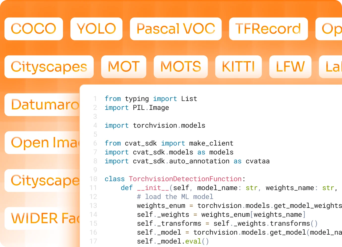
Yes. Import predictions from an existing model or connect a compatible custom model to generate a first pass, then have annotators confirm, correct, or reject the results. Model labels can be matched to the project taxonomy, and detector models can be limited to a region of interest when only part of an image needs processing.
Can CVAT connect to our storage and geospatial ML pipeline?
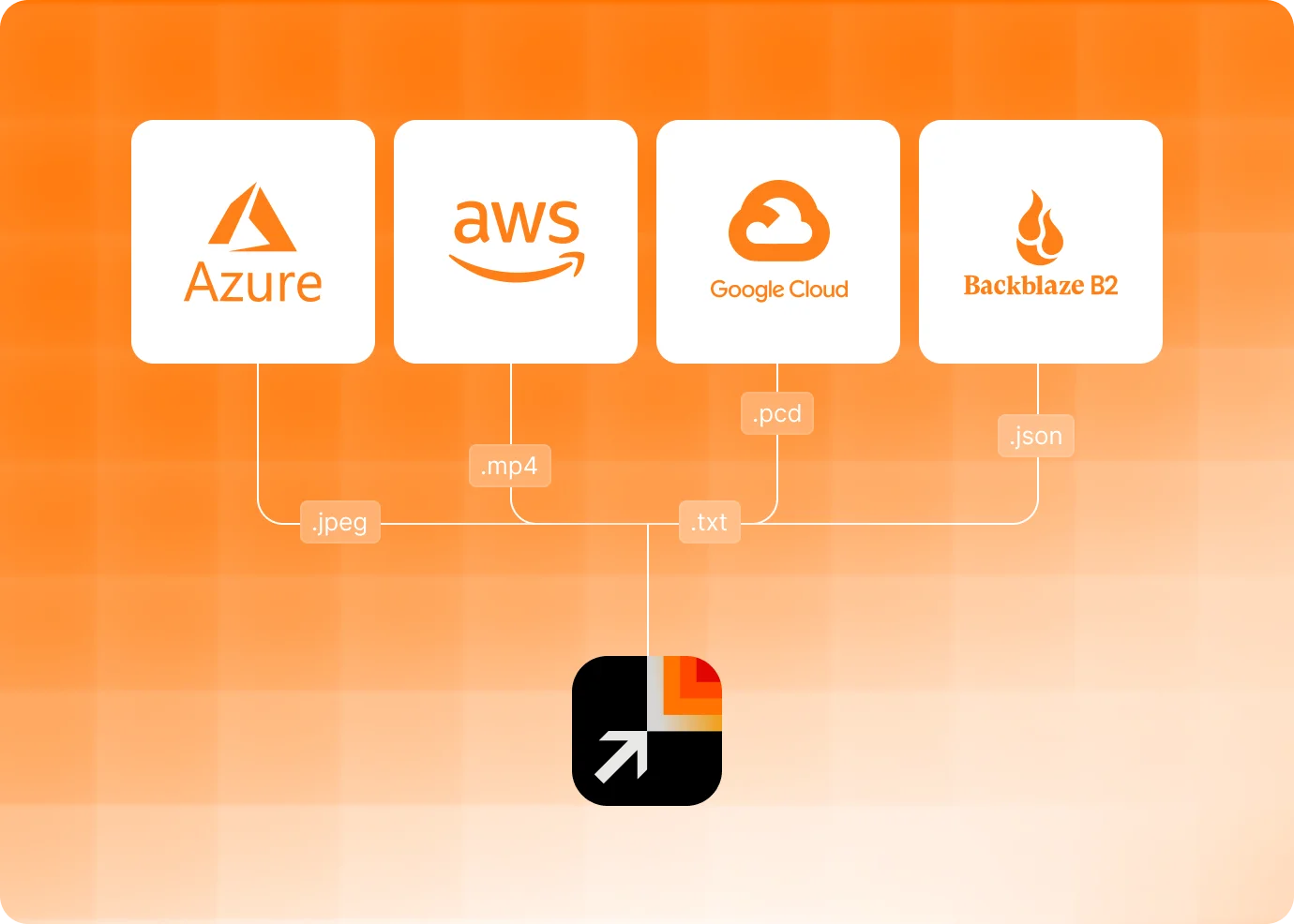
Yes. CVAT supports connected Amazon S3, Azure Blob Storage, Google Cloud Storage, and Backblaze B2 storage. The REST API, Python SDK, and CLI can be used to create tasks, run automatic annotation, monitor processing, and export completed datasets programmatically.
How do we keep labels consistent across regions and annotation teams?
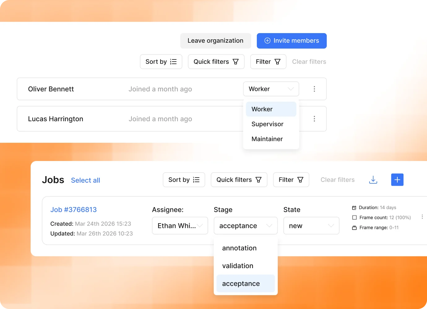
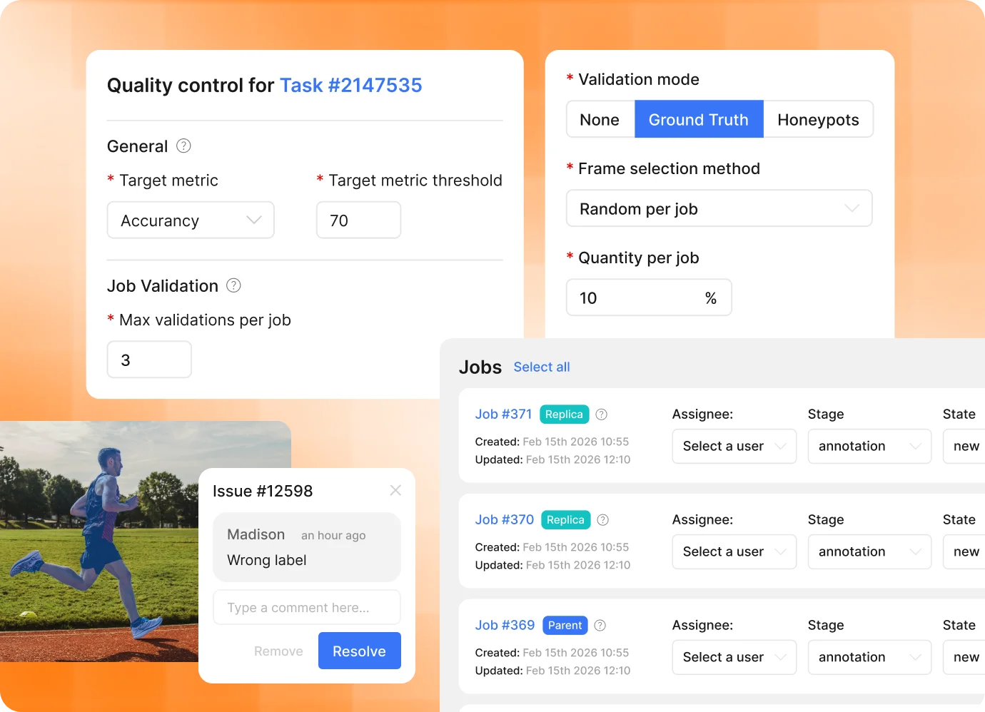
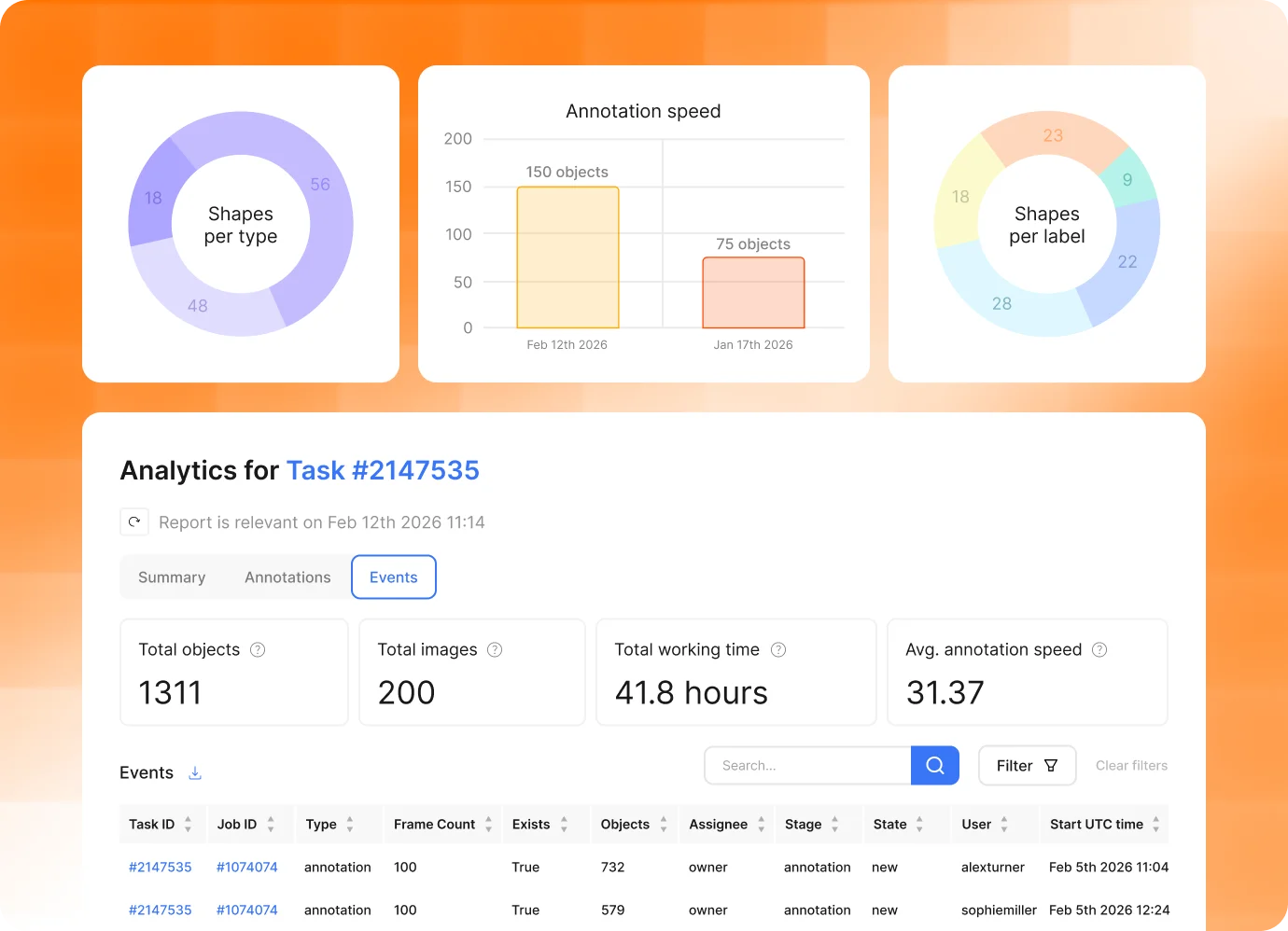
Define labels and attributes at project level so every task uses the same schema for land-cover classes, infrastructure assets, damage categories, and change types. Split the imagery into jobs for parallel work, then use validation stages, Ground Truth jobs, review mode, and quality reports to identify inconsistent or missing annotations before export.
Can CVAT Labeling Services manage a large mapping or monitoring program?
Yes. CVAT Labeling Services can handle project setup, workforce allocation, annotation, review, quality control, and final delivery against your taxonomy, guidelines, and acceptance criteria. This works for one-time mapping backlogs, seasonal surveys, and recurring regional or global monitoring programs.
Can sensitive geospatial data stay inside our own infrastructure?
Yes. CVAT Enterprise supports private-cloud and on-premises deployment for organizations that cannot move sensitive imagery to a public SaaS environment. Enterprise deployments can also use controls such as SSO, LDAP, and audit logs for geospatial data governed by data-residency, public-sector, critical-infrastructure, or contractual requirements.

















.webp)
.svg)

.svg)

.webp)
.svg)
.svg)
.svg)


.svg)

.svg)
.svg)
.svg)
.svg)














.svg)
.svg)
.png)

.png)


