Geospatial & Remote Sensing AI

CVAT Data Annotation Solutions for Geospatial and Remote Sensing

Turn satellite, aerial, and drone imagery into model-ready geospatial datasets for mapping, monitoring, inspection, damage assessment, and change detection.
Need to keep your data in your own infrastructure? Explore CVAT Enterprise
APPLICATIONS
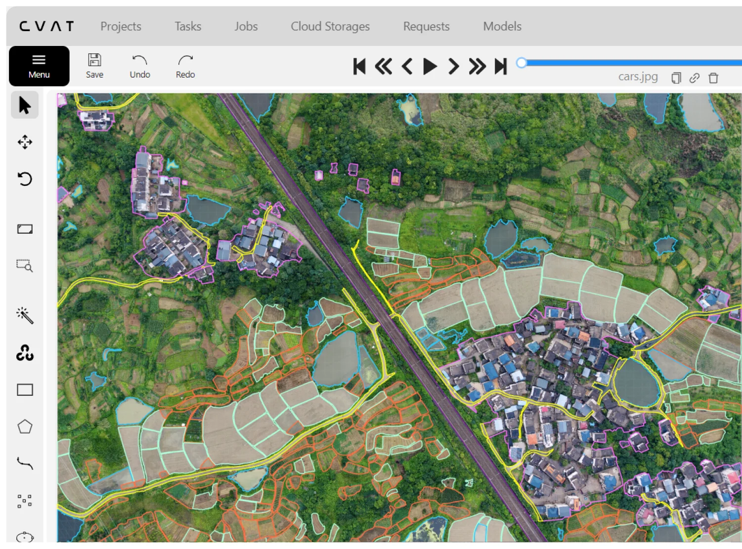
Build high-quality training data for geospatial AI tasks
Create labeled datasets for extracting objects, mapping terrain and infrastructure, monitoring environmental change, and assessing conditions across large geographic areas.
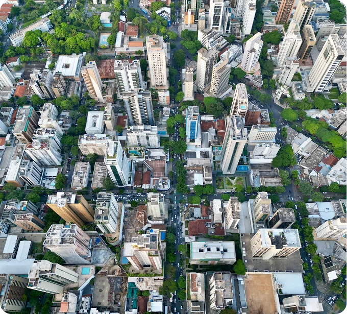
Building and
property mapping
Label buildings, roofs, parcels, and other property features for footprint extraction, valuation, and urban analysis.
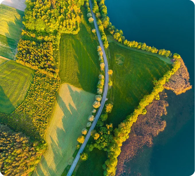
Land cover and
vegetation analysis
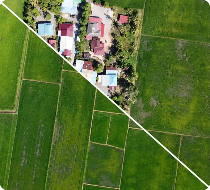
Segment forests, crops, water, roads, terrain, and other surface classes for land-cover mapping and environmental monitoring.
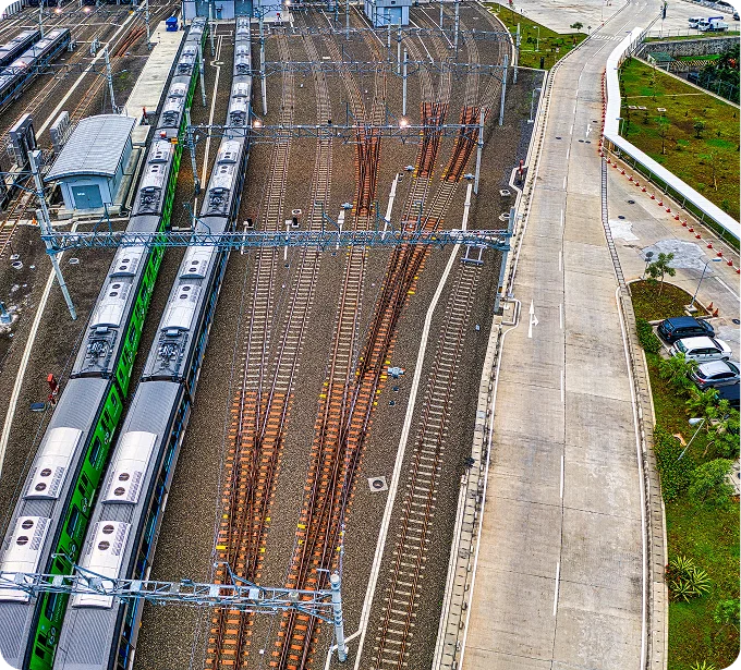
Infrastructure and
utility mapping
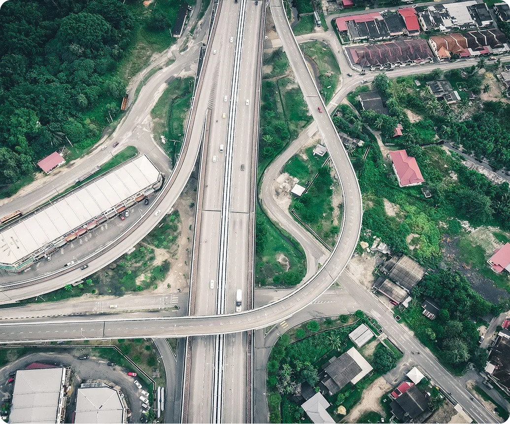
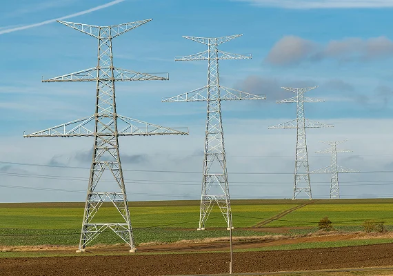
Trace roads, railways, power lines, pipelines, and other assets for mapping, inspection, and maintenance workflows.
Forestry and
tree inventory
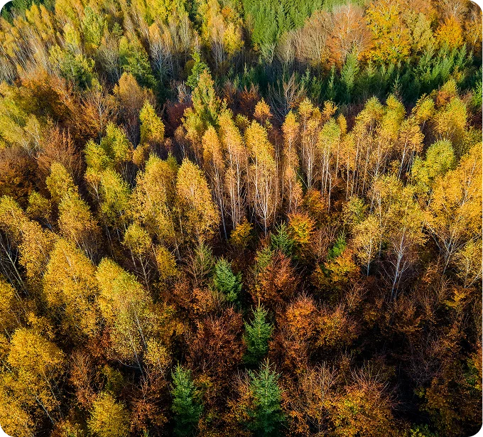
Detect and classify individual trees, map canopy coverage, and monitor vegetation condition and change.
Damage assessment
and disaster response
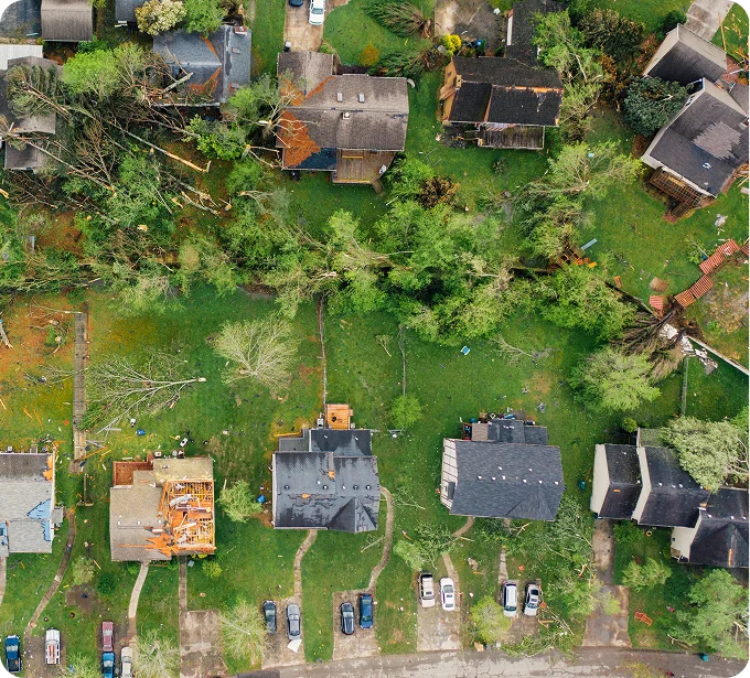
Identify and classify damage to buildings, roads, vegetation, and infrastructure after fires, floods, storms, and other events.
Change detection and
temporal monitoring
Label changes between imagery captured at different times, including construction, land-use change, vegetation loss, and infrastructure deterioration.
CVAT PLATFORM

Manage the full geospatial annotation workflow in CVAT

Import aerial, satellite, and drone imagery, annotate complex natural and built features, use model-assisted labeling, coordinate review, and export model-ready datasets from one workspace.

1. Import data from local files and cloud storage

Upload local datasets and existing annotations
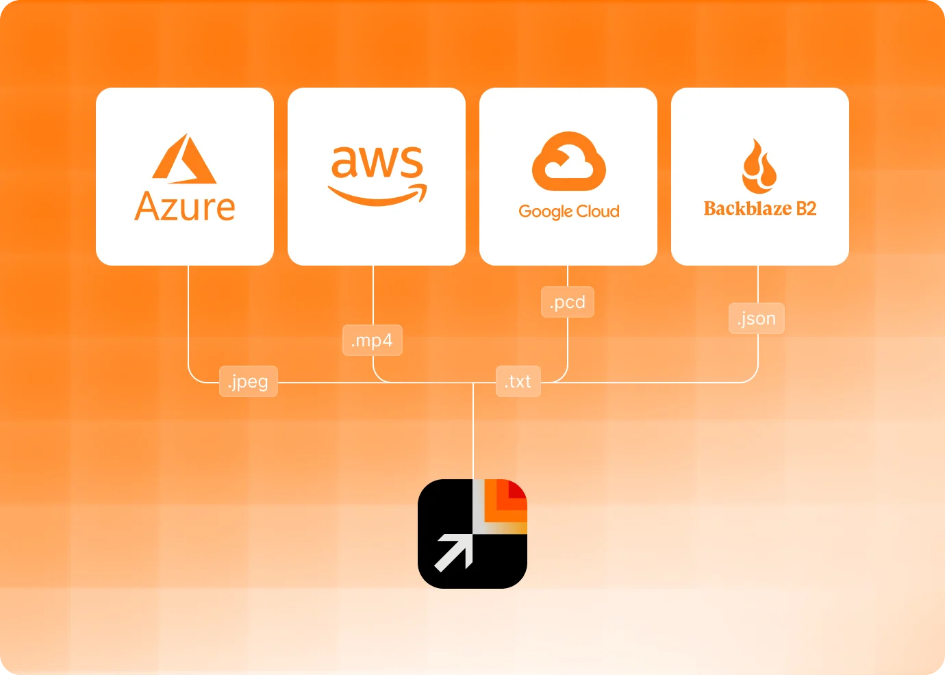
Connect Amazon S3, Azure Blob Storage, Google Cloud Storage, and other storages
Use S3-compatible buckets or self-hosted storage

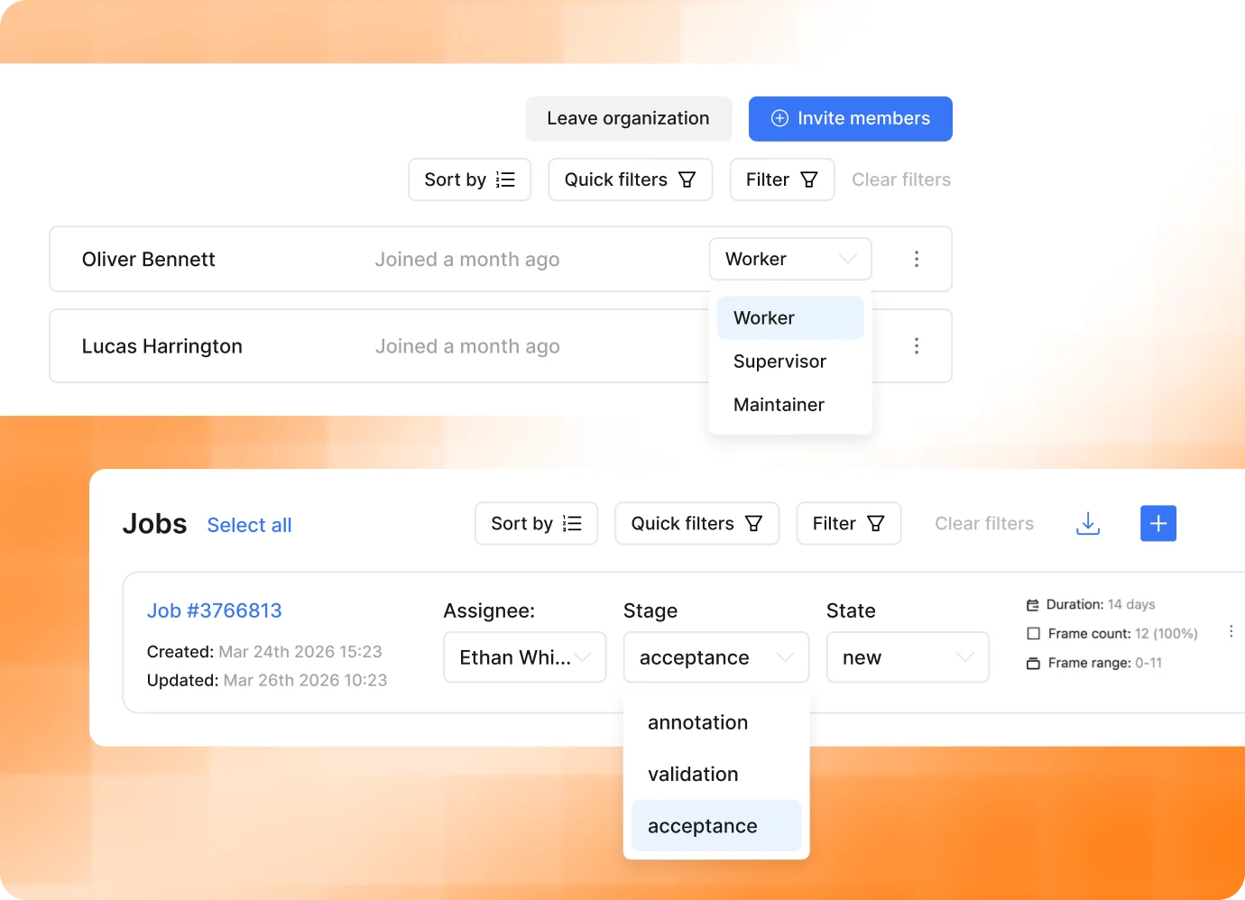
2. Manage projects, tasks, jobs, and team access

Organize annotation work into projects, tasks, and jobs
Assign annotators, reviewers, and project contributors
Manage roles, permissions, stages, statuses, and task ownership

3. Label data with manual and automated tools

Create boxes, polygons, masks, skeletons, tags, and tracks
Speed up labeling with SAM 2, SAM 3, Ultralytics, Hugging Face models, or custom models
Support detection, segmentation, tracking, pose estimation, and other CV workflows

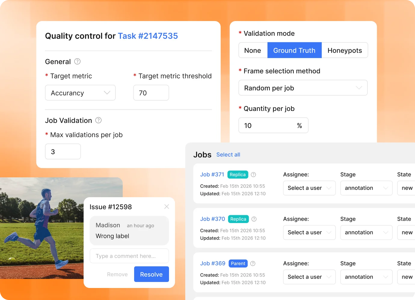
4. Validate annotations and control quality

Review jobs through validation and acceptance stages
Measure quality with ground truth, honeypots, and consensus workflows
Resolve issues and keep quality decisions traceable

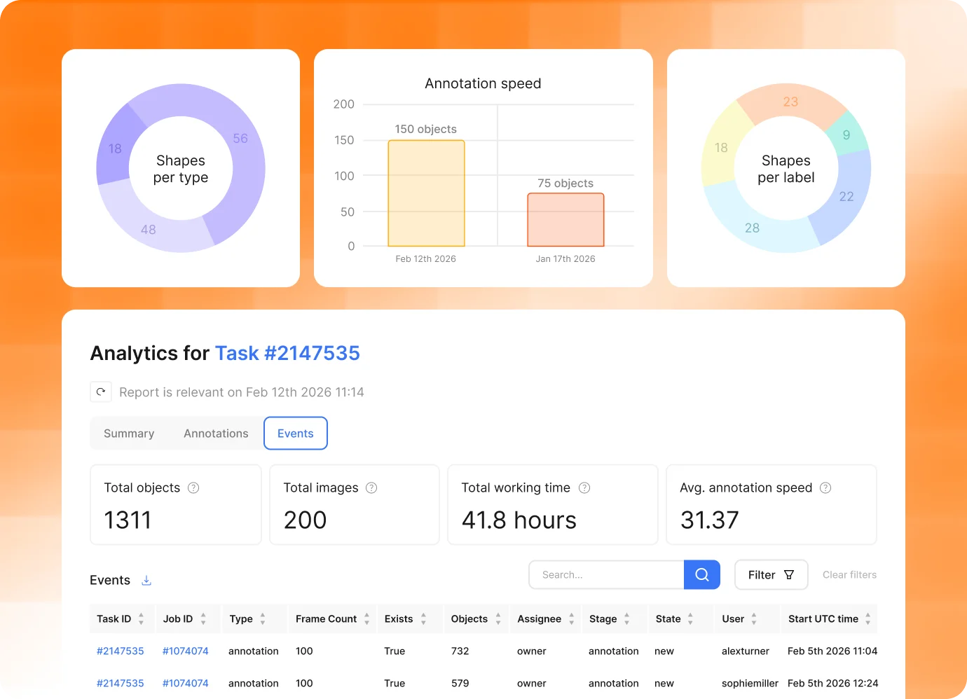
5. Monitor task progress and team workload

Track progress across projects, tasks, and jobs
Monitor team workload and completion status
Identify bottlenecks and measure annotation and validation throughput

6. Export datasets and integrate CVAT workflows

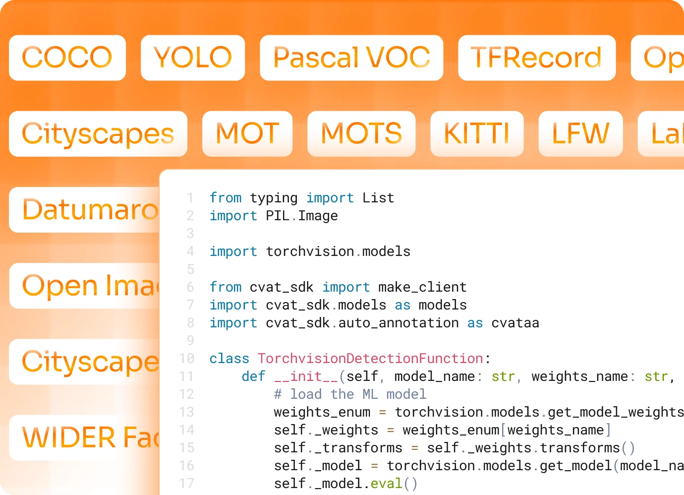
Export data in 20+ formats, including COCO, YOLO, KITTI, Cityscapes, and Pascal VOC
Automate import, task management, and export through API, SDK, and CLI
Build custom integrations around CVAT data labeling and ML workflows
CVAT LABELING SERVICES
Have CVAT deliver your geospatial training dataset
Provide your imagery, label taxonomy, annotation guidelines, and quality requirements. Our project managers, annotators, and validators handle setup, labeling, review, and final delivery.
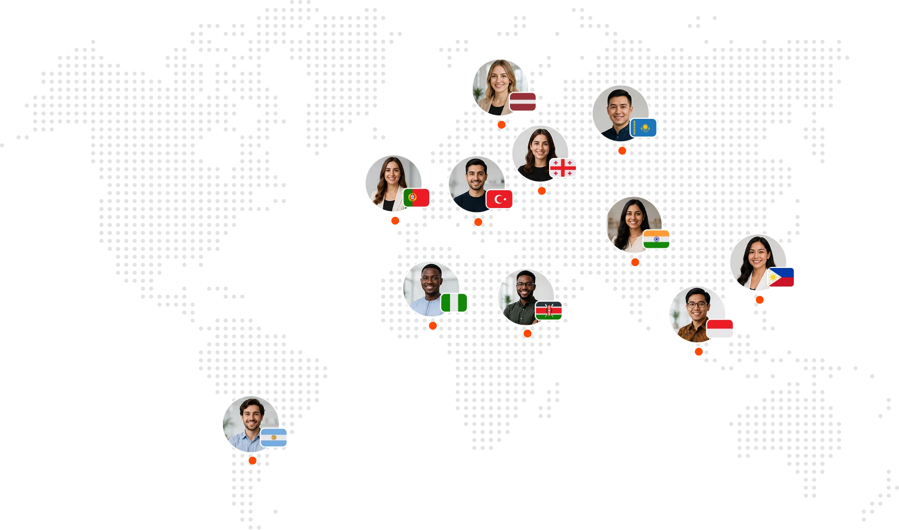
300+ dedicated annotators across 12 time zones
Real-time progress dashboards and delivery tracking
Scales from 1,000 to 100M+ labels without you hiring a single person
Multi-stage QA with rework guarantees and accuracy benchmarks
WHY CVAT
Why choose CVAT for geospatial data annotation?
Label complex spatial features, control where imagery is processed, and scale from pilot datasets to ongoing monitoring programs.
Precise labels for complex spatial features
Trace field boundaries, roads, rivers, buildings, and utility networks with polygons, masks, polylines, points, and boxes. Use custom models to pre-label recurring features and refine predictions in CVAT.
Keep sensitive imagery in your environment
Use CVAT Online for a managed workflow, deploy CVAT Enterprise on premises or in a private cloud, or build on the open-source Community edition.
Scale from pilots to ongoing programs
Run annotation with your own team, then add CVAT Labeling Services for seasonal peaks, new regions, or recurring monitoring without moving to another annotation system.
CUSTOMER REVIEWS
Why AI teams choose CVAT for labeling their data
4.5/5

At e2m, we use CVAT to review computer vision detections of animals in massive camera trap image datasets. We found CVAT to be the best tool at this scale, enabling efficient image review and robust quality control.

Joshua Wilson

Senior Computational Ecologist

tbmaestro uses CVAT as a key tool to structure large-scale annotations for equipment detection on our inspection photos and to accelerate computer vision deployment in asset management.

Anthony Renard

AI Engineer

Our mission is to make vessels safer for every crew at sea. CVAT plays a critical role in that, helping us transform raw CCTV footage from maritime environments into the training data for our AI detection systems. From identifying unsafe behaviour to surfacing near-miss situations before they escalate, CVAT is the foundation that makes our safety intelligence possible.

Vladimir Ponomarev

CEO

CVAT helps us label sports images to build high-quality ground truth that enables our AI to analyze volleyball performance and provide personalized feedback. It gives us the flexibility to combine automated and human labeling, and makes it easier to test different models and refine the best approach for our AI.

Fabian van Schevikhoven

Founder

At Arboair, we annotate forestry imagery to deliver world-class tree analysis worldwide, and CVAT has been key to making that possible at scale. Its ease of use and flexibility across annotation use cases support our full workflow, from production models to experimental projects.

Jacob Hjalmarsson

COO

Vimaan uses CVAT as its primary data annotation tool and selected this tool after a thorough evaluation of alternative tools both in open source and closed domain. Top 3PLs and warehouses have improved their inventory accuracy, reduced mis-shipments, improved bin utilization, while reducing overall resource.

Sudhir Kumar Singh

CTO & Chief AI Scientist

Frequently Asked Questions

What types of geospatial and remote sensing data can I annotate in CVAT?
CVAT can be used with satellite, aerial, and drone imagery, video sequences, and 3D point clouds in supported formats, including TIFF images and PCD or BIN point clouds. Teams use it to build training data for land-cover mapping, building extraction, forestry inventory, infrastructure mapping, damage assessment, and change detection.
Which annotation types work best for geospatial features?
Fields, forests, water bodies, flood extents, and burn scars are region problems, so polygons and masks carry the boundary. Roads, rivers, railways, and utility lines are better represented as polylines. Trees, poles, buildings, and other discrete assets can use points, bounding boxes, or oriented boxes, with attributes for class, condition, or change type.
How should we prepare large satellite scenes or orthomosaics for CVAT?
CVAT supports common image formats, including TIFF, and can organize large imagery collections into tasks and jobs for parallel annotation. For very large orthomosaics, a practical workflow is to divide the source imagery into manageable tiles, retain each tile’s transform, and merge or reproject the exported annotations downstream.
Does CVAT preserve CRS and geographic coordinates?
CVAT’s native annotation format records shapes as x and y coordinates relative to the source image dimensions rather than as geographic coordinates. For georeferenced workflows, keep the CRS and raster transform with the original imagery, then convert exported pixel coordinates back to map coordinates in your preprocessing or postprocessing pipeline.
Can imagery from different dates be used for change detection?
Yes. Use aligned captures from different dates in separate tasks or display earlier and later captures as contextual images while annotating. Teams can label additions, removals, and boundary changes such as new construction, vegetation loss, flood extent, or infrastructure damage. Previous annotations can also be imported as a starting point when the imagery and schema are compatible.
Can we use our own model to pre-label aerial or satellite imagery?
Yes. Import predictions from an existing model or connect a compatible custom model to generate a first pass, then have annotators confirm, correct, or reject the results. Model labels can be matched to the project taxonomy, and detector models can be limited to a region of interest when only part of an image needs processing.
Can CVAT connect to our storage and geospatial ML pipeline?
Yes. CVAT supports connected Amazon S3, Azure Blob Storage, Google Cloud Storage, and Backblaze B2 storage. The REST API, Python SDK, and CLI can be used to create tasks, run automatic annotation, monitor processing, and export completed datasets programmatically.
How do we keep labels consistent across regions and annotation teams?
Define labels and attributes at project level so every task uses the same schema for land-cover classes, infrastructure assets, damage categories, and change types. Split the imagery into jobs for parallel work, then use validation stages, Ground Truth jobs, review mode, and quality reports to identify inconsistent or missing annotations before export.
Can CVAT Labeling Services manage a large mapping or monitoring program?
Yes. CVAT Labeling Services can handle project setup, workforce allocation, annotation, review, quality control, and final delivery against your taxonomy, guidelines, and acceptance criteria. This works for one-time mapping backlogs, seasonal surveys, and recurring regional or global monitoring programs.
Can sensitive geospatial data stay inside our own infrastructure?
Yes. CVAT Enterprise supports private-cloud and on-premises deployment for organizations that cannot move sensitive imagery to a public SaaS environment. Enterprise deployments can also use controls such as SSO, LDAP, and audit logs for geospatial data governed by data-residency, public-sector, critical-infrastructure, or contractual requirements.

Build your next

geospatial dataset

with CVAT

Manage annotation with your own team or have CVAT deliver a validated dataset for your model.
Free plan available • No credit card required • GDPR & CCPA compliant
Try CVAT Online
PRODUCT
CVAT CommunityCVAT OnlineCVAT Enterprise
SERVICES
Labeling ServicesAudio Annotation Services
COMPANY
AboutCareersContact usLinkedinYoutubeGitHub
PRICING
CVAT OnlineCVAT Enterprise
SOLUTIONS
AutomotiveGeospatialInfrastructureLogistics
RESOURCES
All ResourcesBlogDocsCase StudiesChangelogAcademyFeature HighlightsPlaybooksTutorials
COMMUNITY
DiscordGitHub
Beyond Vision: CVAT Goes Multimodal and Introduces Audio Annotation.Learn more ➔